Sunday, October 15, 2006
More IMFL bike course
Here's another great review of the IMFL bike course.
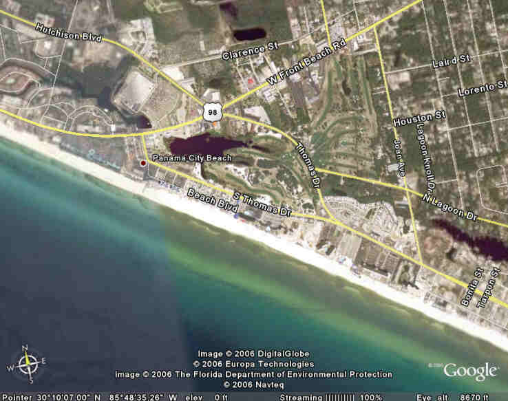
Also, below are a few screen shots that I took off of Google Earth. First the beach and transition area in the center:
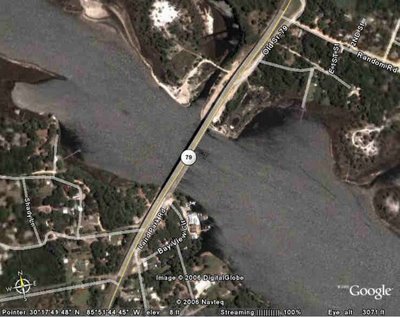
 This bridge is the highest point of the course, that we will cross twice at about Mile 12 and Mile 101.
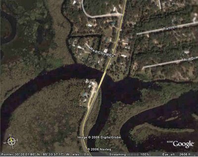
 This is a much smaller bridge we will cross at about Mile 65 while we're on County Road 2301.
Also, below are a few screen shots that I took off of Google Earth. First the beach and transition area in the center:
 This bridge is the highest point of the course, that we will cross twice at about Mile 12 and Mile 101.
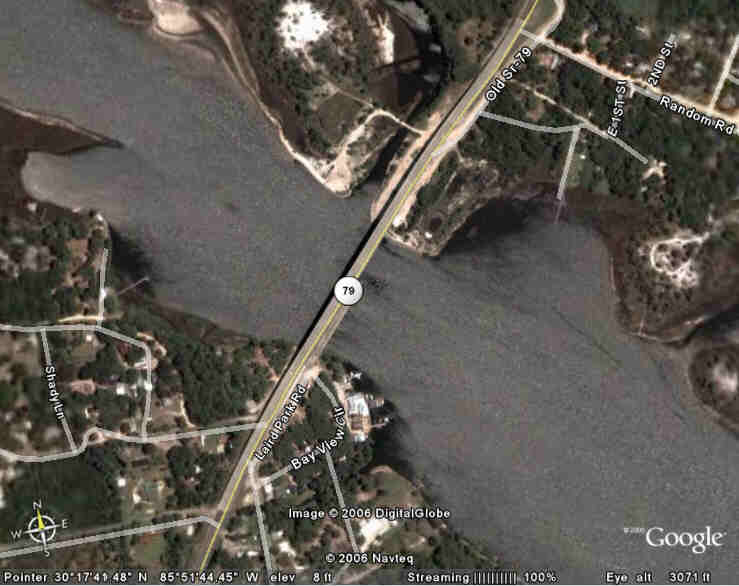 This is a much smaller bridge we will cross at about Mile 65 while we're on County Road 2301.
![]()

